Trying to compare land around Athens, Illinois can feel simple at first, until you realize that two parcels with similar acreage can work very differently. One may be a strong fit for a country home, another for row crops, and another may be better suited for recreation or long-term hold value. If you want to buy smart, it helps to understand how zoning, access, soils, and flood risk shape what a property can actually do for you. Let’s dive in.
Start With Jurisdiction
One of the first questions to ask is whether the parcel is inside the City of Athens or in unincorporated Menard County. That matters because the rules change depending on location. In unincorporated areas, county zoning applies, while the City of Athens handles its own zoning, building permits, and inspections for residential and commercial uses, as outlined by the Menard County zoning and GIS department.
This step is easy to overlook, but it affects everything that comes next. Before you focus on price, acreage, or improvements, confirm who governs the parcel. That gives you the right starting point for permits, setbacks, and future plans.
Compare Land by Intended Use
The best parcel for you depends on what you want the land to do. Around Athens, the main differences usually come down to residential use, agricultural use, mixed-use potential, or recreational appeal.
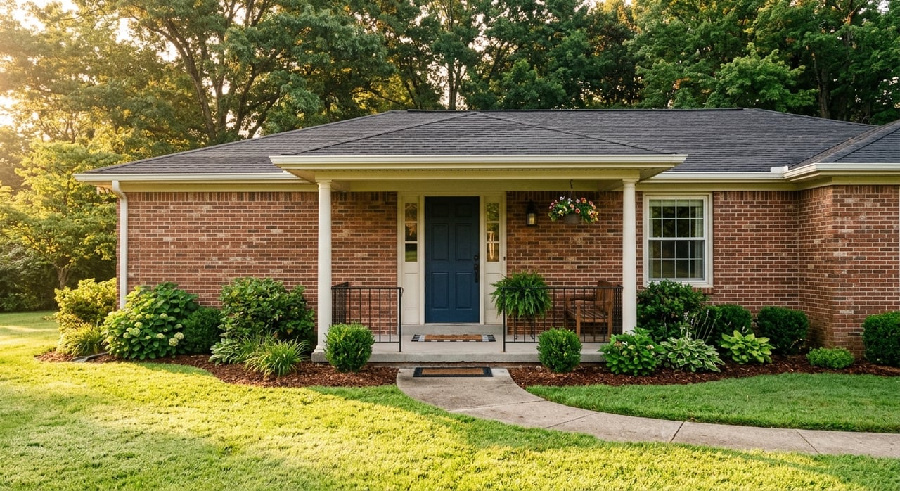
Country Home Sites
If you want room to spread out, a rural residential parcel may sound appealing. In Menard County, the RR district is meant for low-density homes in agricultural areas, generally on land less suited for farming and more suited for residences. The zoning ordinance says RR parcels typically require at least 3 acres, 200 feet of frontage, and larger setbacks near major roads, according to the Menard County zoning ordinance.
There is another practical point to keep in mind. The ordinance notes that people living in these areas should expect normal farm impacts such as dust, noise, odors, late-night fieldwork, fertilization, and pest-management activity. If you want a country setting, that can be part of the tradeoff.
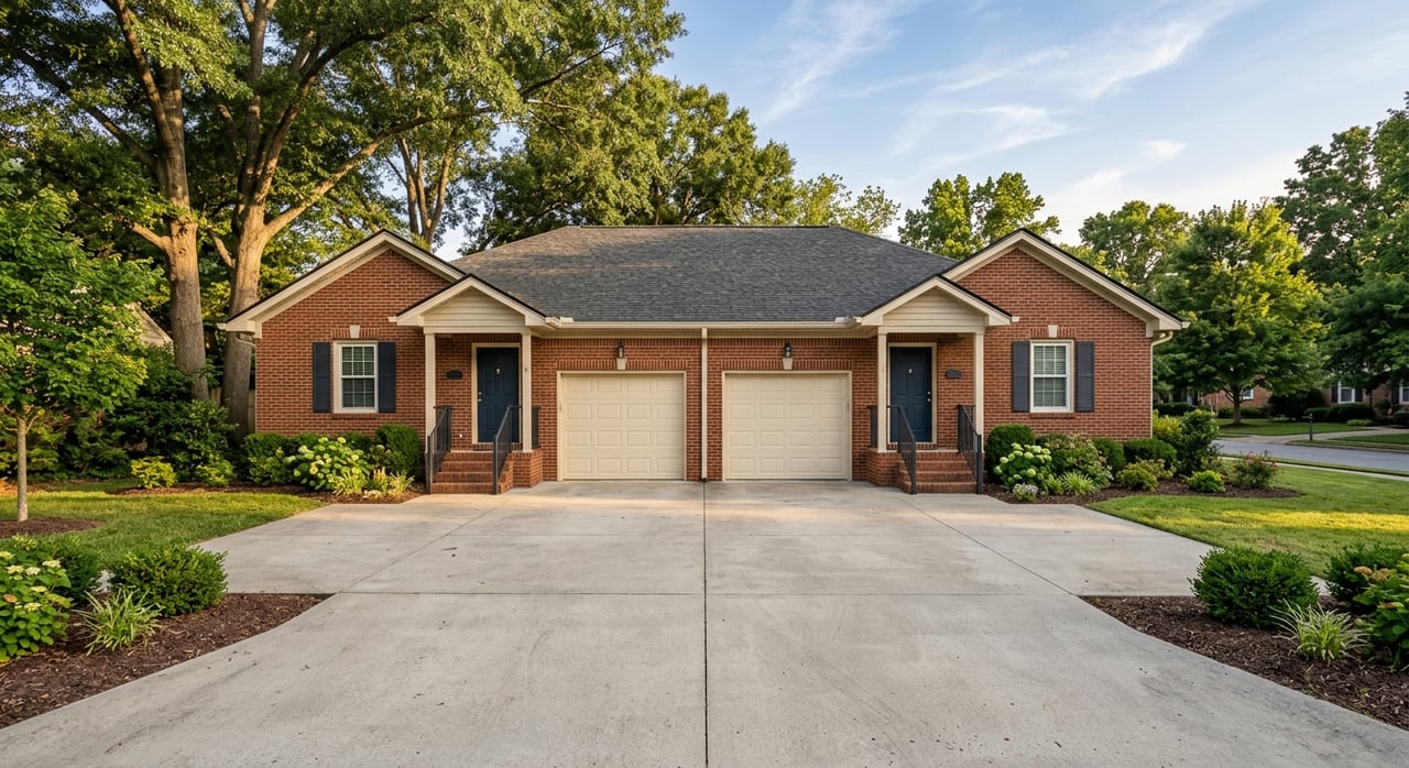
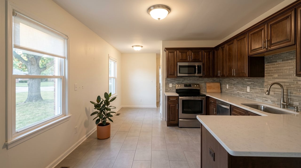
Smaller Residential Lots Near Town
If your priority is convenience, utility access, or a location closer to town, a parcel in an R-1 district may be a better fit. Menard County describes R-1 as a district intended for residential development near incorporated areas where utilities are already available or likely to become available. The zoning ordinance sets a 7,500-square-foot minimum lot area for residential use in this district.
In plain terms, this is often the better option if you want a smaller homesite rather than open acreage. It can offer a more straightforward path for residential development, especially when compared with larger rural parcels that may require more due diligence on septic, access, and frontage.
Tillable Acreage and Hobby Farms
If you are looking for cropland, pasture, or a hobby-farm setup, zoning becomes even more important. Menard County’s A district is built around protecting agriculture as a long-term land use and preserving agricultural soils. The district allows crop production, pasture, livestock buildings, machinery storage, drainage and irrigation systems, and similar farm-related uses under the county zoning rules.
Residential use on agricultural land is more limited than many buyers expect. On lots under 20 acres, only one single-family dwelling is allowed. Larger tracts may allow more flexibility for farm-family or seasonal-worker housing, which means the same acreage can have very different practical value depending on how it is configured and zoned.
Mixed-Use and Investment Tracts
Some buyers want flexibility for commercial activity, long-term investment, or a combination of uses. Around major roads, Menard County’s B-2 district is designed for highway-oriented business activity. The county also allows planned unit development formats that can combine different uses in a more controlled structure.
That said, mixed-use land is not simply a matter of buying enough acreage. The ordinance makes clear that use depends on the underlying district, and in B-2 areas, dwellings are only allowed by special use permit. If you are evaluating a tract for future business or mixed-use potential, zoning detail matters just as much as location.
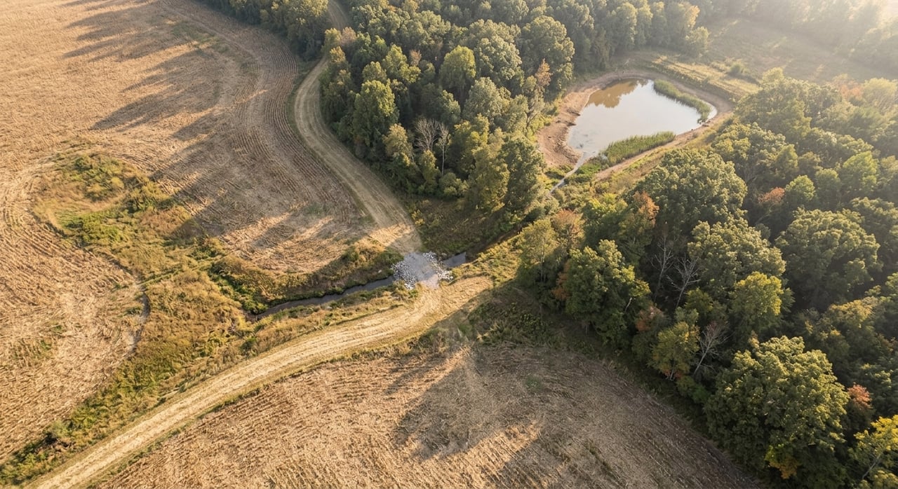
Recreational and Timber-Oriented Land
Not every parcel is best suited for building or farming. Some land around Menard County has more value as habitat, hunting ground, natural cover, or low-intensity recreational property. The county’s planning documents discuss wetlands, bottomland forests, and natural areas that may be better left in their natural state rather than pushed toward intensive development, as noted in the Menard County comprehensive plan.
This matters if you are comparing wooded or irregular tracts. A parcel with wet ground, timber cover, or wildlife appeal may not compete with tillable acreage on crop income, but it may offer a completely different kind of value for recreation, privacy, or land stewardship.
What Drives Land Value Around Athens
Acreage matters, but it is rarely the full story. In this part of Menard County, value is often shaped by what the land can support physically and legally.
Soils and Drainage
Soils are a major factor in land decisions. The county plan states that soil texture, moisture capacity, and permeability affect septic suitability, road construction, and the identification of prime farmland. The zoning ordinance also considers soil type, productivity, slope, topography, and flood hazard when reviewing rezonings.
This is why one 10-acre parcel can be far more usable than another. Strong soils and workable drainage can support agriculture or homesite development more easily, while erosion issues, poor septic conditions, or wet ground can limit your options.
Floodplain and Topography
Menard County is generally gentle in slope, but parcel-level topography still matters. The Illinois State Geological Survey’s Menard County profile reports total relief of 185 feet and an average slope of 0.95 percent, with lower areas near the Sangamon River and higher points on upland ground.
Flood risk can create big differences between parcels that look similar on paper. Menard County’s flood ordinance identifies the Sangamon River and its tributaries as floodplain areas on FEMA maps. If a property sits low or near river corridors, its use, value, and building potential may be very different from upland land nearby.
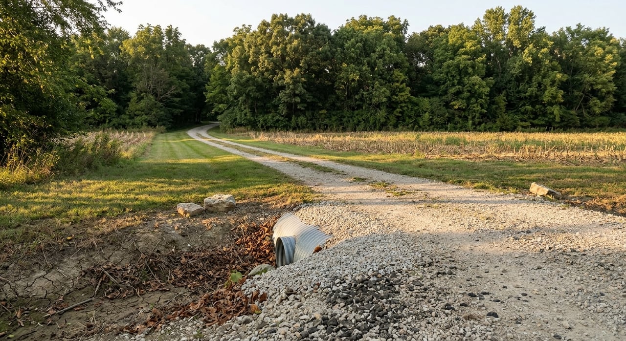
Access and Frontage
Access is another major filter. Menard County’s comprehensive plan identifies IL 29, IL 97, and IL 123 as principal routes, with Interstate 55 just east of the county. The zoning rules also treat frontage, driveway access, and setbacks near arterials as important site controls.
For buyers, this means road access is more than convenience. It can directly affect how the parcel functions, how easy it is to improve, and whether future use plans are realistic.
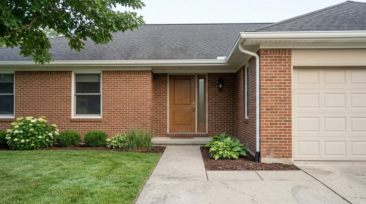
Existing Improvements
Raw land and improved land should not be viewed the same way. A tract with a house, barn, driveway, drainage work, or utility connections may offer a very different starting point from vacant acreage. Menard County also requires zoning permits and occupancy permits for new development and for changes in principal use, based on its county code provisions.
That can make improved property attractive for some buyers, especially if you want to reduce the number of unknowns. At the same time, you still need to verify how those improvements fit current zoning and intended use.
Why Farmland Value Works Differently
If you are comparing agricultural ground with homesites or mixed-use property, valuation can quickly get confusing. Illinois does not assess farmland the same way it assesses standard residential property. The Illinois Department of Revenue farmland assessment guide explains that cropland and pasture are assessed using soil productivity index values, while flood conditions, erosion, slope, and similar factors can affect those values.
The same guidance also notes that rural residential land and farm homesites are appraised at market value. So if one parcel is mostly productive tillable acreage and another includes a homesite or less productive ground, the numbers may not line up in a simple price-per-acre comparison. That is one reason land buyers benefit from looking beyond list price alone.
A Practical Way to Compare Parcels
When you are narrowing down land options around Athens, a simple checklist can help you stay focused on facts instead of guesswork.
Ask These Questions First
- Is the parcel inside Athens or in unincorporated Menard County?
- What zoning district applies today?
- Does the lot meet frontage and setback requirements?
- How is the road access configured?
- Is any part of the property in a floodplain?
- What do the soils suggest about farming, septic, or building-site potential?
- Are there improvements that change usability, such as utilities, a driveway, or outbuildings?
- Would your intended use require a special use permit, variance, or rezoning?
Use Local Records Carefully
Parcel maps can be helpful, but they are not the final word. Menard County’s assessor states that its GIS parcel records are for property-tax reference and may change. That means GIS should be treated as a starting point, then paired with the zoning map, soil information, flood review, and an on-site visit.
This is especially important for rural and recreational land. Easements, wet areas, tree cover, field access, and actual buildable area often become much clearer once you move beyond the map view.
Matching the Right Parcel to Your Goals
There is no single “best” type of land around Athens. The right fit depends on whether you want a homesite, productive acreage, recreational ground, or an investment tract with future potential. What matters most is finding a property that aligns with your goals and works within the rules already in place.
That is where local, practical guidance makes a real difference. If you want help comparing acreage, understanding how a parcel may fit your plans, or preparing to buy or sell land in central Illinois, connect with Brad Graham for straightforward advice backed by real field experience.
FAQs
What should you check first when comparing land near Athens, Illinois?
- Start by confirming whether the parcel is inside the City of Athens or in unincorporated Menard County, because zoning, permits, and inspections depend on that jurisdiction.
How does rural residential zoning work in Menard County near Athens?
- In the RR district, parcels generally require at least 3 acres and 200 feet of frontage, and buyers should expect normal agricultural impacts like dust, noise, and farm activity nearby.
What makes farmland value different from residential land value in Menard County?
- Illinois farmland is assessed using soil productivity and land characteristics like erosion, slope, and flooding, while rural residential land and homesites are typically valued at market value.
Why does floodplain matter when buying land around Athens?
- Low-lying land near the Sangamon River and its tributaries may have different building limits, use potential, and value than upland parcels, even if the acreage is similar.
Are GIS parcel maps enough for evaluating land in Menard County?
- No. The county says GIS parcel records are tax-reference data only, so they should be used with zoning records, soil information, flood review, and an on-site inspection.