Thinking about buying farmland near Greenview and wondering what the soil “PI” number really tells you? You are not alone. Understanding Illinois soil productivity indexes is one of the fastest ways to compare tracts and set realistic expectations for value, rent, and yields. In this guide, you will learn what PI and CPI measure, how they are used locally, and a simple workflow to pull the numbers for any Menard County parcel. Let’s dive in.
What PI and CPI measure
PI (Productivity Index) and CPI (often called Corn Productivity Index) are relative ratings of a soil’s productive capacity for row crops under high-management conditions. They are based on inherent soil properties like texture, drainage, depth, slope, rooting conditions, and seasonal water availability. A higher PI indicates greater productive potential on the same scale.
These indexes are comparative, not guarantees of yield. Think of them as a common language to compare fields. They help you sort parcels into higher or lower inherent potential before you consider management, weather, or improvements.
How PI values are created
PI and CPI values come from soil survey interpretations maintained in the USDA NRCS SSURGO database and are accessible through the Web Soil Survey. University sources may adjust or interpret PI values for local use, such as converting PI to an expected bushels-per-acre baseline. Because PI is mapped by soil unit, you can pull parcel-specific numbers for most cropland.
What PI does not tell you
PI does not capture management differences like fertility programs, recent manure applications, or compaction. It also does not fully reflect tile drainage improvements, which can raise practical performance beyond the base rating. Year-to-year weather swings will change actual results.
Always ground-truth PI with on-the-ground information. Ask for soil tests, tile maps, field histories, and recent yield records before relying on PI alone for a decision.
Why PI matters in Greenview
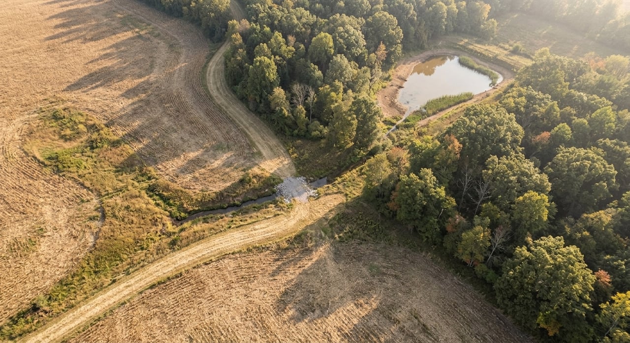
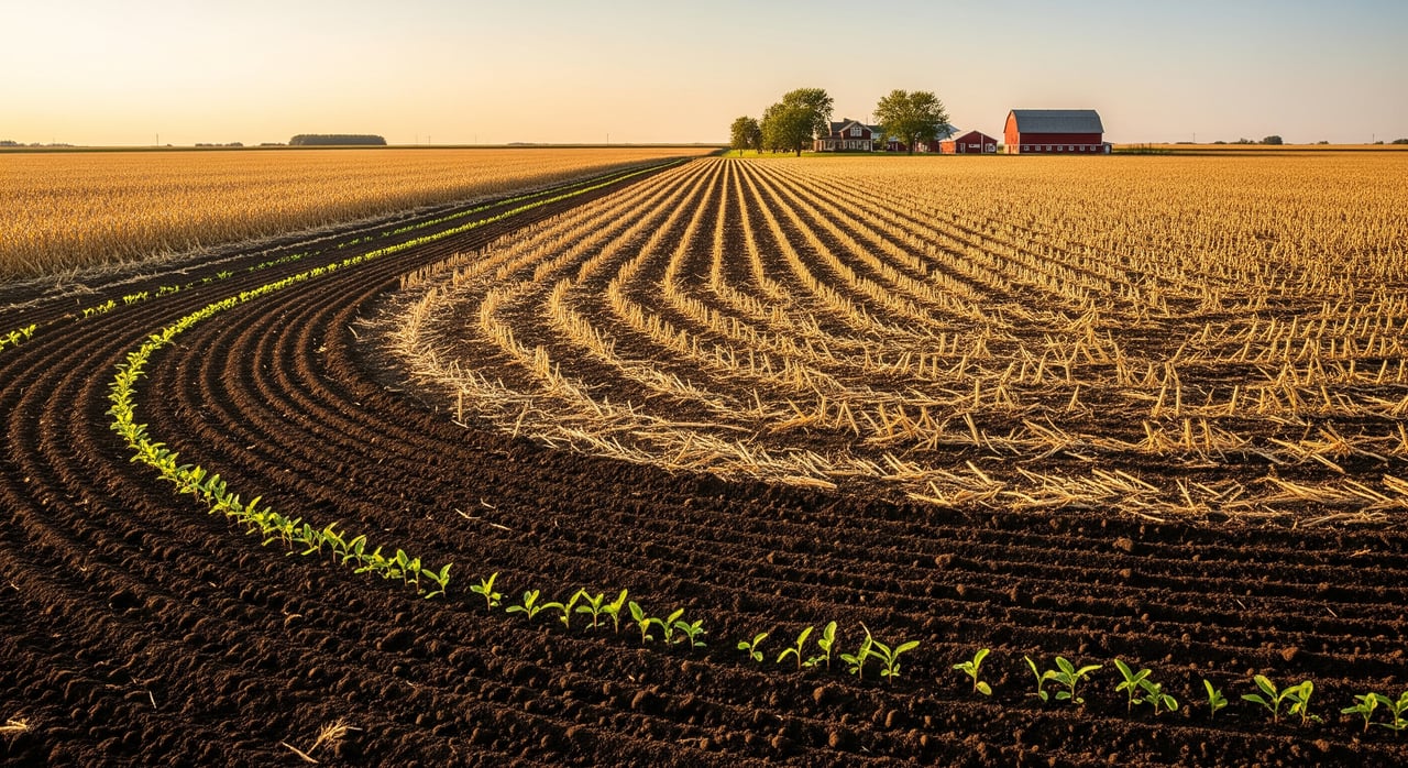
Menard County sits in central Illinois with prairie soils formed on glacial tills and loess. Many fields here are highly productive for corn and soy, with deep silty and silty clay loams common across the area. You will also see local variations within a field, including floodplains or poorly drained spots that pull down performance.
Drainage and tile status are especially important near Greenview. Poorly drained map units can underperform compared to adjacent well-drained soils. Tile improvements can lift real-world yields and, in practice, shift what many managers consider the field’s “effective” PI.
Using PI for value, rent, and yield
Valuation basics
Appraisers and brokers often scale per-acre price by a parcel’s PI relative to a market reference. Some use tiered pricing by productivity bands. A more rigorous method capitalizes expected net returns, with PI informing expected yields that roll into net income estimates.
Local sales history and non-soil factors still drive price. Two tracts with similar PI may sell differently due to location, road access, field shape, drainage improvements, or non-farm development potential. Always compare against Menard County comps and request PI for the comps when possible.
Lease-rate setting
Many landlords and tenants use a $ per PI point approach to cash rent, which scales rent to productivity. Others estimate expected yield from PI, multiply by an expected price, subtract costs, and convert that to either a cash rent or a crop-share structure. County cash rent surveys can provide a benchmark, then you adjust by PI difference from county averages.
Tile, field size and shape, access to grain storage, and management approach will all influence final rent. Flexible leases that tie rent to prices or yields can help manage volatility for both sides.
Yield expectations
Managers sometimes convert PI to a “normal” yield estimate by scaling county averages up or down by the ratio of parcel PI to a reference PI. This is a heuristic, not a forecast. Use NASS county yields, FSA yield history for the field, and tenant records to cross-check your assumptions. Tile, fertility, and recent weather events can move actual yield away from a simple PI conversion.
Get the PI for a Greenview parcel
Use this step-by-step workflow to pull parcel-specific PI and add context before you bid or negotiate:
- Obtain the parcel polygon from the Menard County Assessor or the seller so you can map precise boundaries.
- Load the polygon into the USDA NRCS Web Soil Survey. Generate the soil map and download the attribute tables. Look for productivity index or CPI fields in the output.
- Overlay FSA CLU and any available historical yield information.
- Request tile and drainage maps from the seller or tenant. Ask for installation dates and contractors. If you plan to move forward, order a new grid soil fertility test.
- Convert PI to projected yield using local county averages, then adjust for drainage, management, and known field issues. Use those projections to build rent or valuation scenarios.
What PI means in dollars: 3 examples
The following are hypothetical examples that show how managers use PI to estimate yield, rent, and value. They are for illustration only and use simple assumptions to show the math.
Common assumptions across examples:
- County-average corn yield: 190 bu/acre
- Reference PI: 100
- Expected cash corn price: $4.50/bu
- Estimated per-acre production costs: $450/acre
Example 1: High-productivity tract near Greenview
- Size: 120 acres
- Hypothetical PI: 125
- Estimated attainable yield: 190 × (125/100) = 237.5 bu/acre
- Expected gross revenue: 237.5 × $4.50 = $1,068.75/acre
- Subtract tenant costs: $1,068.75 − $450 = $618.75/acre net before landowner share
- Cash rent scenarios:
- Crop-share method: 40 percent of gross ≈ $427.50/acre
- Per-PI method: $3.50 per PI point → $3.50 × 125 = $437.50/acre
Key insight: On strong soils, per-acre rent and value often scale meaningfully with PI.
Example 2: Moderate tract with partial drainage
- Size: 80 acres
- Hypothetical PI: 95 overall
- Tiling: Half the field tiled and behaves like PI ~105; the rest performs closer to 85. Weighted PI still totals 95.
- Estimated attainable yield: 190 × (95/100) = 180.5 bu/acre
- Expected gross revenue: 180.5 × $4.50 = $812.25/acre
Key insight: Field variability argues for either a lower flat cash rent or a flexible lease that shares risk and reward.
Example 3: Low-productivity floodplain
- Size: 60 acres
- Hypothetical PI: 70
- Estimated attainable yield: 190 × (70/100) = 133 bu/acre
- Expected gross revenue: 133 × $4.50 = $598.50/acre
Key insight: Check wetland determinations, drainage costs, and any flood-related restrictions before you price or rent.
Due-diligence checklist
Use this list to verify what PI alone cannot tell you:
- NRCS Web Soil Survey printout showing soil map units and PI/CPI values.
- Menard County parcel data and GIS parcel polygon.
- FSA CLU map and program yield history; confirm any program enrollments.
- Tile and drainage maps with installation dates and contractor information.
- Field yield records from the last 3 to 5 years, including combine yield maps if available.
- Recent soil fertility tests and tillage history.
- Any wetland determinations, environmental restrictions, or repeated flooding evidence.
- Recent comparable sales with PI where possible and current county cash rent surveys.
Smart questions to ask
- What PI or CPI is recorded for this tract, and can I see the NRCS printout?
- Are there field-level yield maps or FSA yield history for the last 3 to 5 years?
- Is there a tile map or record of drainage improvements? Who installed the tile and when?
- Has any portion of the tract been enrolled in conservation programs or had a wetland delineation?
- Are there known management issues such as compaction, erosion, saline areas, or persistent wet spots?
Next steps for Greenview buyers
- Get the parcel polygon from the assessor and run the NRCS Web Soil Survey to pull PI values.
- Request FSA CLU maps and yield history for the farm.
- Ask the seller or tenant for recent yield maps and tile records.
- Order a grid soil test if you are moving toward a purchase.
- Use local comparables, and consult a local appraiser or farm manager to translate PI into realistic price and rent scenarios.
If you want a straight, local perspective on how PI should influence your offer or rent terms in Menard County, reach out to Brad Graham. With a mix of local relationships, auction capability, and ongoing owner support, you can choose the right path for your goals. Connect with Brad Graham to request a property valuation and talk through next steps.
FAQs
What is Illinois soil PI and why it matters
- PI and CPI are relative soil productivity ratings that help you compare parcels for crop potential, value, and rent in a consistent way.
How PI affects farmland price in Menard County
- Higher PI often supports higher per-acre prices, but local comps, access, drainage, and non-farm potential can outweigh small PI differences.
Using PI to set cash rent
- Many landlords scale rent by $ per PI point or use a yield-based approach that converts PI to expected income, then sets cash rent or crop-share terms.
Can tile drainage change a field’s effective PI
- The base PI does not change, but practical performance often improves with tile, so managers may treat the field as having a higher effective PI when negotiating.
Best way to get a tract’s PI near Greenview
- Map the parcel in the NRCS Web Soil Survey, export the soil table showing productivity indexes, and verify with FSA records, tile maps, and recent yield data.